|
The images displayed below have been used in whole or in part for the creation of the |
|
|
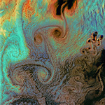
Aleutian Islands - Von Karman Vortices |
|
|
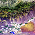
Bogda Mountains |
|
|
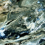
Dasht-e Kevir |
|
|
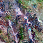
Death Valley National Park |
|
|
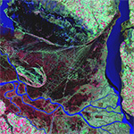
Parana River Delta |
|
|
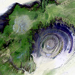
Richat Structure |
|
|
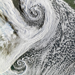
Cyclones in Tandem |
|
|
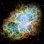
Crab Nebula |
|
|
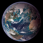
Blue Marble |
|
COPYRIGHT © 2009 by Kevin Conniff − ALL RIGHTS RESERVED |