>


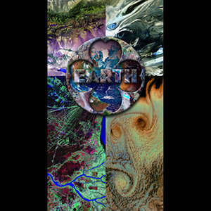
Death Valley National Park (logo fill image)
At 282 feet below sea level, Death Valley, California, is one of the hottest, driest places on the planet. On average, the area sees only about 1.96 inches of rain a year, and summer temperatures routinely soar above 100 degrees Fahrenheit.
[Image and caption courtesy of USGS National Center for EROS and NASA Landsat Project Science Office / Image credit: NASA]
Image taken 6/11/2000 and 7/20/2000


Blue Marble (center image)
Inspired by Apollo-era pictures of our planet as seen from space, NASA assembles imagery from a variety of Earth-observing satellites into a computer-generated composite. The agency calls this continuing project “Blue Marble Next Generation.”
[Image and caption courtesy of NASA Earth Observatory]
Composite images taken from 1994 to 2004


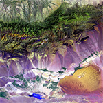
Bogda Mountains (upper left image)
The Turpan Depression, nestled at the foot of China’s Bogda Mountains, is a strange mix of salt lakes and sand dunes, and is one of the few places in the world that lies below sea level.
[Image and caption courtesy of USGS National Center for EROS and NASA Landsat Project Science Office] Image taken 9/1/1999


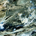
Dasht-e Kevir (upper right image)
The Dasht-e Kevir, or Great Salt Desert, is the largest desert in Iran.
It is primarily uninhabited wasteland, composed of mud and salt marshes covered with crusts of salt that protect the meager moisture from completely evaporating. [Landsat 7 image selection, processing, and caption courtesy of USGS EDC] Image acquired 10/24/2001


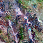
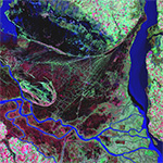
Parana River Delta (lower left image)
The Parana River delta is a huge forested marshland about 20 miles northeast of Buenos Aires, Argentina, one of the world's greatest bird-watching destinations. This image highlights the striking contrast between dense forest and wetland marshes, and the deep blue ribbon of the Parana River. [Image and caption courtesy of USGS National Center for EROS and NASA Landsat Project Science Office]
Image taken 5/26/2000


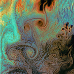
Aleutian Islands - Von Karman Vortices (lower right image)
As air flows over and around objects in its path, spiraling eddies, known as Von Karman vortices, may form. The vortices in this image were created when prevailing winds sweeping east across the northern Pacific Ocean encountered Alaska's Aleutian Islands. [Image and caption courtesy of USGS National Center for EROS and NASA Landsat Project Science Office] Image taken 7/4/2002 by Landsat 7